Skip to content

Editor field description for the Location map

An interactive location map can be used for one or more places, based on OpenStreetMap or Google Maps.

Tab "Map data"

Title
(Text input)
The title / headline for this content.
Description
(HTML editor)
Optional
Marker configuration
Optional - Can occur as often as necessary
Group
(Text input)
Use this option to group markers. Use the same group name for all markers that should belong to a group.
Color
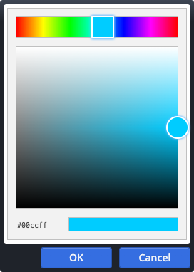
(Color picker)
Optional
Sets the color for the icon of the marker group. If this is not set, a default from the CSS is used.
The colour code must be in the correct hexadecimal format, e.g. in the form ‘#CC3300’.
Icon
(Select/combo box)
Optional

The icon to display on the map.

In addition to the predefined options, any icon name from the Mercury template can be entered, e.g. 'bi-heart-fill'.

For the full list of possible icons, see the Mercury documentation website.

Icon on background
(Check box)
Optional
Controls if the icon is displayed directly or with a colored background box.
Gallery title
(Text input)
Only Workplace users
Optional
Used to identify this content in the OpenCms internal gallery. Not shown in the output page.

Tab "Markers (Place links)"

Marker
Optional - Can occur as often as necessary
Select an existing place content to use its address data.
Group
(Text input)
Optional
Use this option to group markers. Use the same group name for all markers that should belong to a group.

Tab "Markers (manually entered)"

Marker
Optional - Can occur as often as necessary
Caption
(Text input)
Displayed emphasized in the window for the marker.
Address
(Text area)
Optional
The optional address for the marker. If the address is not entered manually, it will be calculated by Google.

The link for this marker.

Please note: External links must start with https://
The display text for the link.
The link target.

Please note: External links should always include a prefix, such as https://.

If checked, the link is opened in a new browser window.
Group
(Text input)
Optional
Use this option to group markers. Use the same group name for all markers that should belong to a group.
Coordinates
(Location picker)
Köln, Deutschland

Latitude: 50.937531

Longitude: 6.960279

Zoom: 8

The geocoordinates of the marker to show.